Description
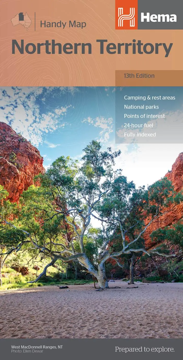
A map of the Northern Territory that features camping and rest areas, 24hour fuel and points of interest. On the reverse are through road maps of Darwin and Alice Springs, a map of the greater Darwin region. For trip planning there is a national park matrix and contact details for information centres.
Key Features
- GPS surveyed roads and tracks
- Fuel stops
- 4WD tracks
- Camping areas
- Historic sites
- Detailed inset maps
Key Specifications
Edition: 13th
Publication Date: 15/04/19
Scale: 1:1,750,000
Explore more from our collection.
Reviews
There are no reviews yet.