Description
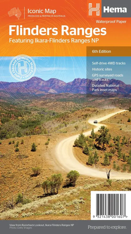
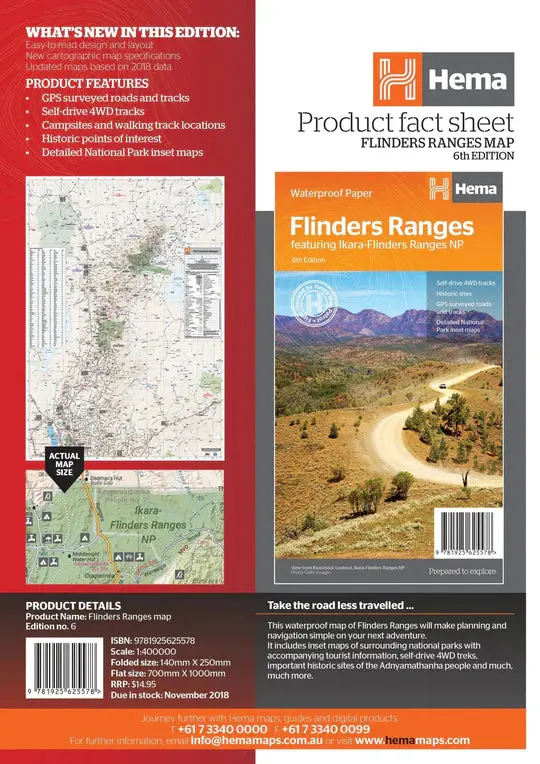
This waterproof map of South Australia’s Flinders Ranges includes inset national park maps and visitor information on the spectacular Flinders Ranges and Vulkathunha-Gammon Ranges, including information on the history and traditions of the Adnyamathanha people — making trip planning and navigation simple. Accompanying tourist information includes self-drive 4WD treks, historic sites and contact details listed for national parks and reserves.
Key Features
• GPS surveyed roads and tracks
• Self-drive 4WD tracks
• Camping, bush camping, walking tracks
• Historic sites
• Detailed National Park inset maps
Key Specifications
Edition: 6th
Publication Date: 1/11/18
Scale: 1:400,000
Folded size (WxHxD): 140mm x 250mm x 3mm
Flat size (WxH): 700mm x 1000mm
Explore more from our collection.
Reviews
There are no reviews yet.