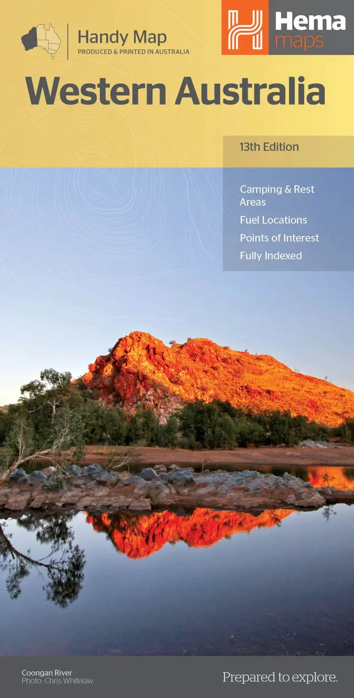
Description
Hema’s updated WA State Map is comprised of the most detailed information, which has been verified by Hema Map Patrol. It is printed on waterproof paper and includes a full index of locations, making it durable and easy to use for both navigation and inspiration. A compact map of Western Australia for touring throughout the state with a distance grid and index for reference. Marked on the mapping are highways, major and minor roads, camping and rest areas, 24-hour fuel, information centres, picnic areas, caravan parks and lookouts.
Key Features
• Camping areas
• Caravan Parks
• Fully indexed
• Easy to use
Key Specifications
Edition: 13th
Publication Date: 05/02/20
Scale: 1:2,500,000
Explore more from our collection.
Reviews
There are no reviews yet.