Description
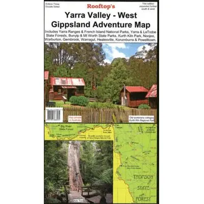
Prepare for thrilling outdoor adventures with the Rooftop Maps Yarra Valley – West Gippsland Adventure Map. This double-sided map is tailor-made for motorbiking, bush camping, and four-wheel driving, making it your ultimate guide to exploring the natural wonders of the region.
One side of the map features prominent destinations such as Yarra Ranges National Park, Bunyip and Mt Worth State Parks, Kurth Kiln Park, and the expansive Yarra, La Trobe, and Toolangi State Forests. It also highlights towns like Pakenham, Warburton, Noojee, Marysville, Neerim South, Drouin, Gembrook, Warragul, Healesville, and Powellton.
On the reverse side, the map takes you from Gembrook to Noojee, providing a wealth of information to enhance your outdoor experiences. Rooftop Maps are renowned for their precision and reliability, making them the trusted choice for outdoor enthusiasts.
Key Features
- Detailed 4WD tracks
- National parks
- Camping areas
- GPS surveyed roads & tracks
- Waterproof paper
Key Specifications
Edition: 3rd
Publication Date: 01/10/12
Scale: 1:100,000
Folded size (WxHxD): 140mm x 255mm x 4mm
Flat size (WxH): 700mm x 1000mm
Explore more from our collection.


Reviews
There are no reviews yet.