Description
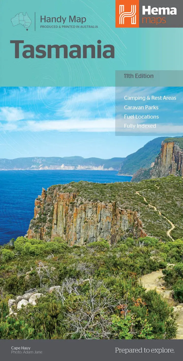
A compact map of Tasmania for touring throughout the state with a distance grid and index for planning and reference. Marked on the mapping are highways, major and minor roads, camping and rest areas, 24-hour fuel, information centres, picnic areas, caravan parks, and lookouts.
Key Features
• Camping areas
• Caravan Parks
• Fully indexed
• Easy to use
Key Specifications
Edition: 11th
Publication Date: 15/01/21
Scale: 1:480,000
Explore more from our collection.
Reviews
There are no reviews yet.