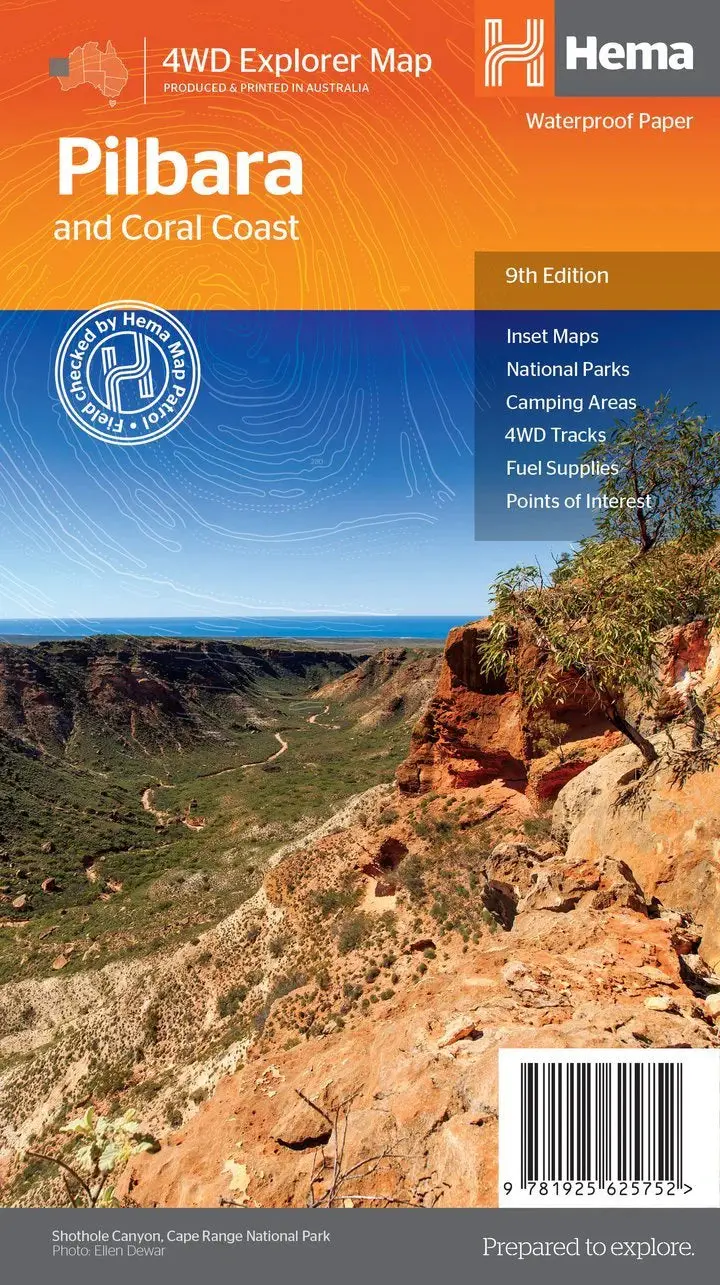
Description
This regional waterproof map of the Pilbara and Coral Coast is ideal for discovering the northern reaches of Western Australia. The main map covers the diverse marine attractions around Shark Bay, François Peron National Park and the Ningaloo Reef. It also stretches to the gorges of Karijini, lush habitats of Millstream Chichester National Park and the magnificent Marble Bar.
It also features additional information relating to permits, useful contacts and historical context surrounding some of the area’s most popular tourist destinations.
Key Features
- GPS surveyed roads and tracks
- Fuel stops
- 4WD tracks
- Camping areas
- Historic sites
- Detailed inset maps
Key Specifications
Edition: 9th
Publication Date: 15/04/19
Scale: 1:1,200,000
Explore more from our collection.
Reviews
There are no reviews yet.